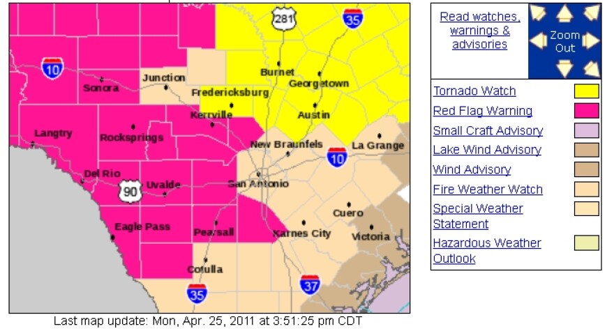
The National Weather Service (NWS) has issued a tornado watch for Travis, Bastrop, Williamson, Hays and other Central Texas counties. As of this posting, the tornado watch was due to expire at 10 pm. You can find the latest information from the NWS here.
In it's Hazardous Weather Outlook, the NWS says the risk of severe weather will escalate into this evening.
There is a threat for isolated tornadoes in addition to the primary threats for large hail and damaging winds. Near critical fire weather conditions are expected this afternoon and early this evening across areas generally along the west of I-35. Gusty west winds of 10 to 20 mph will develop behind a dry-line,…making conditions favorable for the spread of fires
The storm system caused at least one large tornado earlier today in North Texas. The AP reports it happened about 30 miles southwest of Fort Worth. On Sunday in Abilene, softball sized hail damaged several vehicles.
Here's YouTube video that purports to show those hail balls smashing to the ground in Abiline yesterday.


